
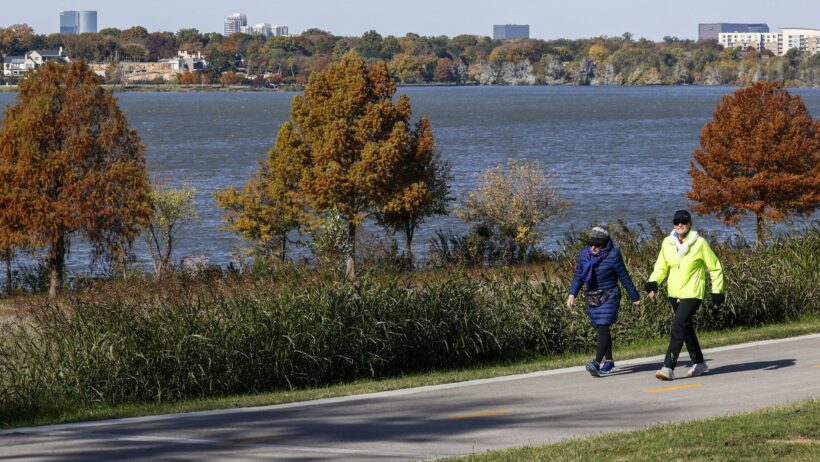
Temperatures in Dallas-Fort Worth could reach the 80s before dropping into the upper 30s and lower 40s later this week.
Elías Valverde II/Staff Photographer
Get ready for more weather whiplash, North Texas.

Dallas-Fort Worth is set for another taste of warm weather this week before a cold front brings more seasonal temperatures and the region’s first potential frost of the season.
Article continues below this ad
Related: Overcast Monday in store for North Texas. Here’s what to expect
Several days of warmer weather are on tap for D-FW before a strong cold front approaches the region later this week, according to the National Weather Service’s Fort Worth office.
Isolated showers are possible Monday and Tuesday in parts of North Texas, primarily in southern areas of the region.
Some areas of D-FW may see rain early this week.
National Weather Service
By Wednesday, temperatures are forecast to rise to above-normal levels, with near-record highs in the upper 70s and lower 80s, according to the weather service. Temperatures could be five to 10 degrees above normal by Tuesday.
Article continues below this ad
However, the warmer weather will be “short-lived,” the weather service said, as a strong cold front is expected to roll in Wednesday evening or night.
D-FW is forecast to see cooler weather, with near- to below-normal temperatures expected for the rest of the week. No rain is expected after showers move out Tuesday.
Although the cold front will arrive late Wednesday, the temperature drop will be relatively gradual, as cooler air filters into the region. By Friday, D-FW high temperatures are expected to be in the 60s, with lows in the 40s.
By Saturday, daily low temperatures could reach the upper 30s and 40s in parts of North Texas, while afternoon highs remain in the 60s.
Related: Rainy winter ahead for North Texas? Here’s what NOAA forecasters expect
Article continues below this ad
Due to the temperature swing, the weather service is also monitoring the possibility of frost in some areas of North Texas this weekend.
“Although still 5 days away and uncertain, current forecast indicates our potential first round of frost across our northeast counties on Saturday morning,” the weather service said.
Frost occurs when water vapor freezes onto surfaces, creating a thin layer of ice crystals. It can form when temperatures are near-freezing, even above 32 degrees. A freeze, meanwhile, occurs when temperatures reach 32 degrees or lower.
In Dallas-Fort Worth, the average date of the first freeze falls on Nov. 22, according to the weather service’s climate records. However, the first freeze may come a bit later this year, as North Texas has seen warmer temperatures on average this fall, including the hottest September on record.
Related: The first freeze each year is coming later for much of the U.S. Is the same true in Texas?
Article continues below this ad
While Dallas-Fort Worth has seen some spurts of fall-like weather lately, the region’s warm, dry pattern is forecast to stick around for a few more weeks.
According to the weather service’s Nov. 8 extended range weather pattern discussion, the rest of November will likely feature above-normal temperatures and slightly below normal precipitation levels. However, D-FW may see some brief stretches of cooler than normal weather this month.
“Barring a historic early season arctic outbreak, should the forecast hold, 2026 will likely end up being one of the top three warmest years on record for DFW and Waco,” the weather service said.
Related: What will the weather be like on Thanksgiving in North Texas? Here’s what to know
Article continues below this ad