

![]()
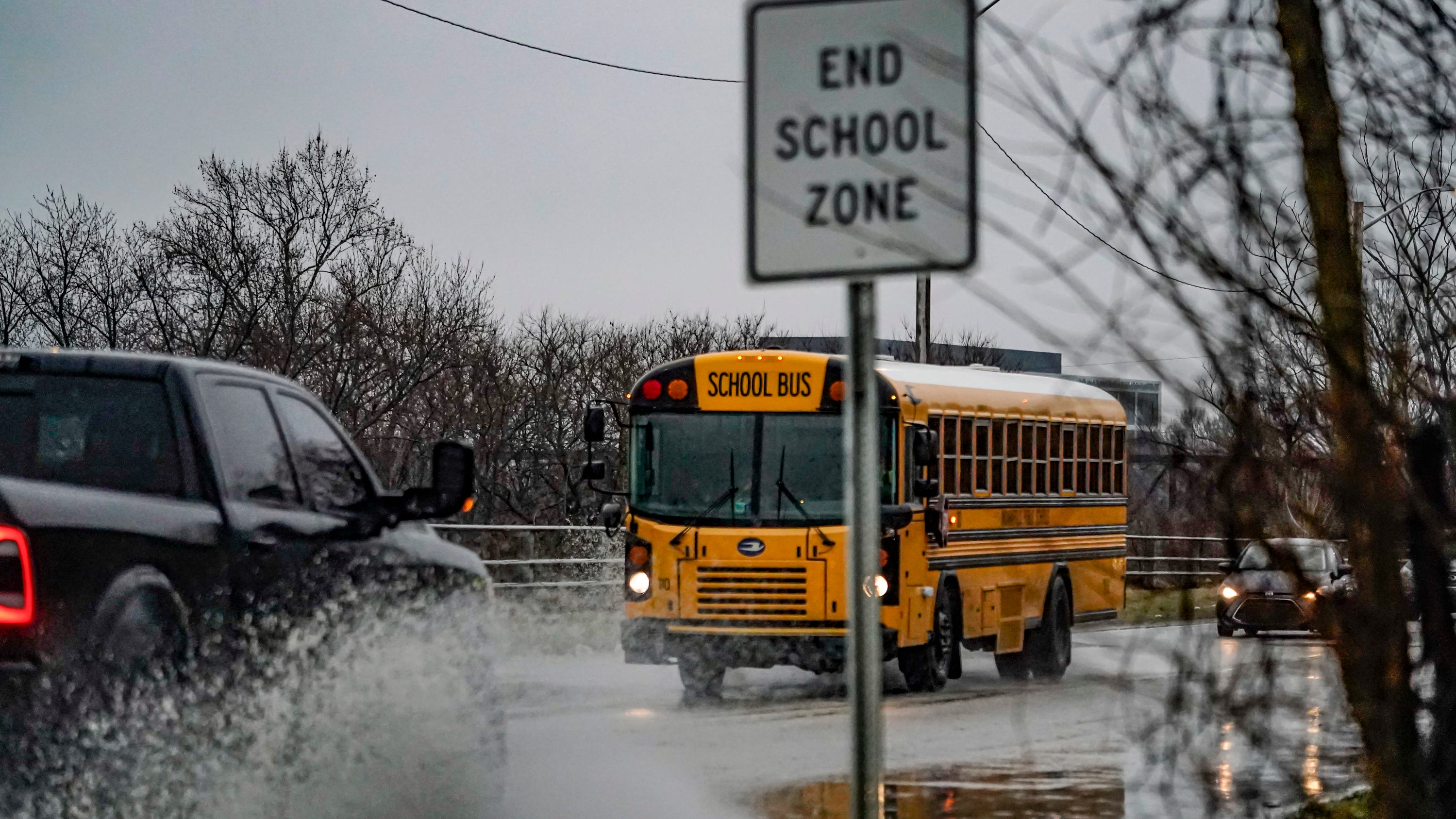
How Indianapolis school district decide weather delays, closings
An informative look at how Indiana school officials decide on school closings and delays during winter weather.
Indianapolis could see hail as big as two inches the evening of March 22, according to the National Weather Service, as storms sweep across Central Indiana.
A streak of warm and sunny weather will be interrupted late Sunday, when a line of storms expected to form north of Interstate 70 begins to move southeast. Thunderstorms will likely begin at 7 p.m. and last until midnight.
There is also a 15-29% chance of severe hail, NWS forecasts, and hailstones could reach two inches: between the size of a golf ball and a pool ball.
A line of storms is expected to form north of I-70 this evening and move to the southeast into the early overnight. Large hail and damaging winds are the main threats with the potential for hail as large as 2 inches in the strongest storms of the day. #INwx pic.twitter.com/xVwuAdEoGf
— NWS Indianapolis (@NWSIndianapolis) March 22, 2026
The risk includes areas as far north as Muncie and as far south as Jasper, stretching across the eastern and western borders of the state. Areas just outside those borders have a 5-14% chance of severe hail.
In Indianapolis, wind gusts could reach 31 miles per hour, and temperatures will drop rapidly through the night for a much cooler day March 23.
Contact breaking politics reporter Marissa Meador at mmeador@indystar.com or find her on X at @marissa_meador.